

After a most excellent Christmas and New Years in Barra Navidad, we thought New Year’s Day would be a perfect day to get some exercise by taking a hike to get a better view of the Los Llanitos shipwreck just around the point from the marina. We saw the wreck when we arrived on December 23rd and were interested in getting a better view. The 731-foot-long bulk tanker left Manzanillo to ride out hurricane Patricia at sea. However, fate had other plans in store for the ship, and it was quickly overcome by large seas and 200 mph winds and washed up on the shore on October 23rd. The oil and diesel fuel it carried were soon salvaged to prevent marine contamination. Meanwhile, the Mexican government is still trying to decide if removing the remains of the ship would be better or worse for the environment.
A day earlier on New Year’s Eve, I attempted a drone reconnaissance flight from the beach around the other side of the steep, rocky Punta Graham which claimed the ship. Due to a combination of software problems and the distance involved, I was unable to get a visual of the wreck. An examination of Google Maps satellite data and aerial drone views showed that it should be possible to reach the peak above the wreck if the roads were still passable.
I was running out of daylight to finish some varnish work and cool off at the pool, so I recruited Satin along with Jake from Sassafrass to join me on a hike the following morning. The shortest route according to Google appeared to be a road heading up and over the ridge from the marina side of the hills. We walked up the steep resort roads toward the ridge. Incidentally, the miles of roads around the resort and adjoining golf course are paved with millions of bow-tie shaped paving stones. We marveled at the amount of labor that must have gone into manually laying these stones.

Unfortunately, we found only dense jungle and steep drainage culverts where we were hoping to find the road. This meant we had to continue over the lower rise and back down to the golf course to attempt to pick up a different road up a neighboring ridge. We were fortunate to pass by the water storage area, whose clearing provided an amazing 270-degree view of Barra Navidad and the Barra Lagoon.
I had scouted our next target road the previous day and knew where it headed up from one of the golf club roads. We found it again easily, and started our way up amongst the overgrown weeds and scuttling lizards who were not especially fond of our intrusion. Things were looking good as we came to a meeting of ridges and forks in the road, including one that continued in the right direction. The more overgrown trees provided much-needed shade, but also more hungry mosquitos and noseeums. We continued on the mostly gentle grade for about another mile when we caught sight of a cell tower and navigation light. The road we’ve been following was also the path for power lines up to these installations.
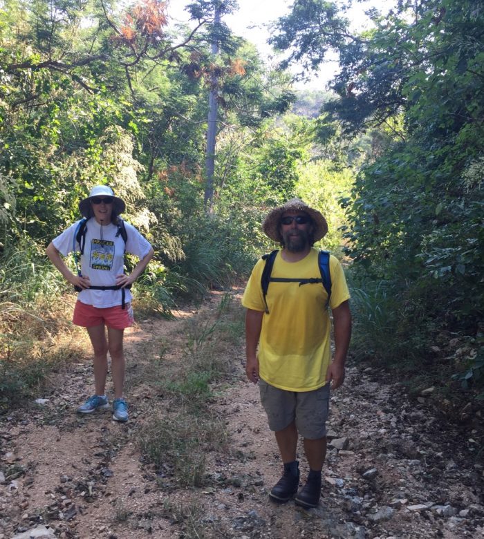
 Satin and some random buildings.


Although the vegetation grew thick around these fenced off areas, Jake spied a narrow path around the right side of the navigation light (the left side was a sheer drop-off). We carefully made our way around to find a locked and abandoned house-like structure followed by the crumbling foundation of another, presumably wooden, building which has been long-since reclaimed by nature. We speculated that it may have once been a light-keepers house from the white tile flooring that remained on what was left of the foundation. And the best part was our clear view of the wreck hundreds of feet down from the point awash in the waters against the shore.
Fortunately, the flat tiles and small clearing provided just enough room to get the Mavic Pro off the ground and down for a closer look. We heard the hoots and hollers of people checking out the wreck from pangas far below as the drone descended to the wreck. The original aft tower is long gone, consumed by the waves. As you can see, the hull is breaking apart and it seems unlikely that it will ever be removed.
Overall it was a great hike with excellent views and I would highly recommend it if you find yourself in Barra Navidad or Marina Navida. The total distance was about 6 miles round trip if you avoid the extra up-and-over path we took past the water storage facility. It’s best to start early in the morning to avoid the heat of the day and some of the insects, and you shouldn’t head out without good footwear, insect repellant, water, your camera, and maybe a few pesos in your pocket for a cold drink or snack on your way back through Culebra.
Looks cool. The jungle sounds a bit scary tho.
wow! What an interesting adventure. Thanks for sharing!
Awesome hike!